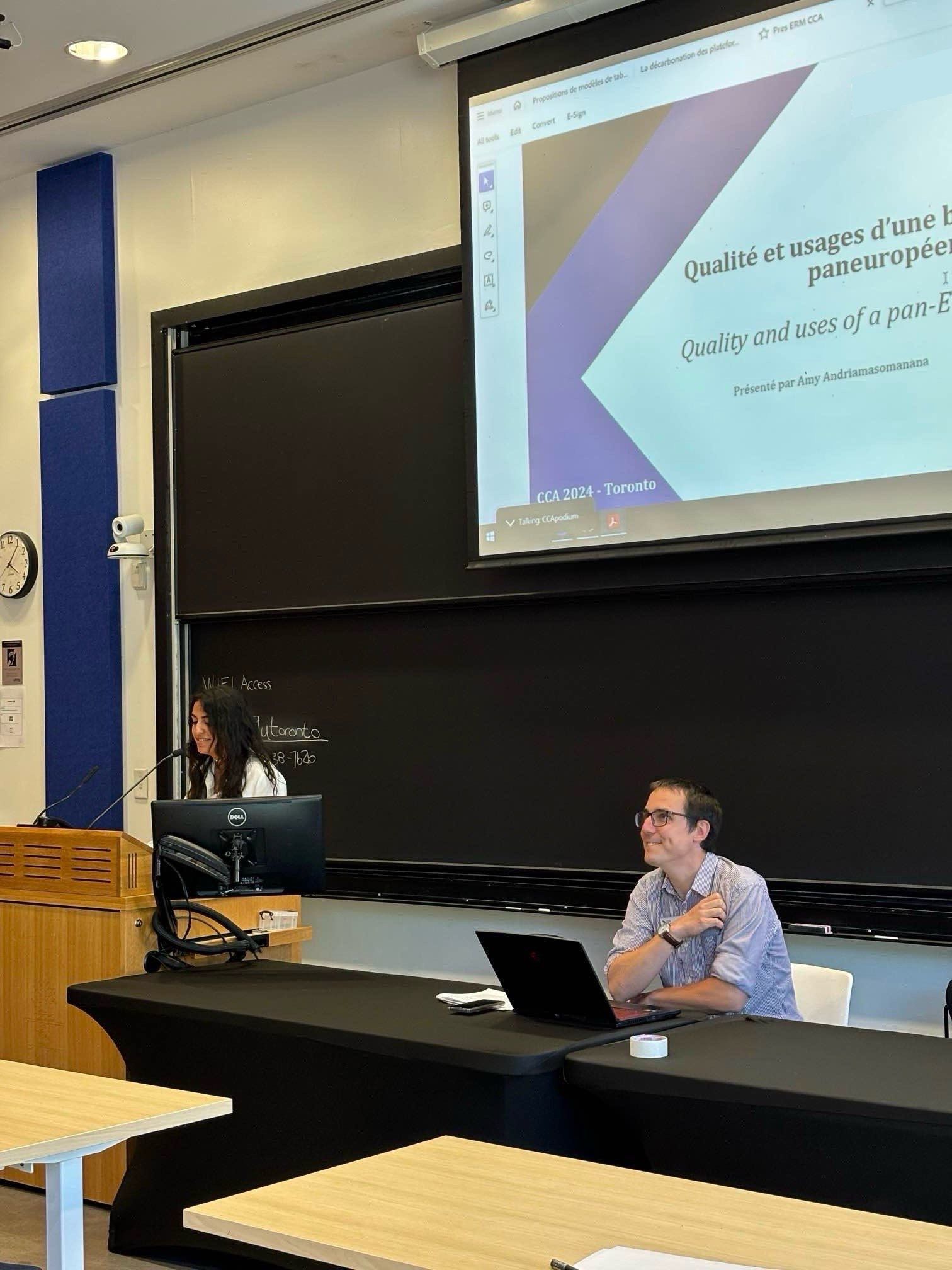
Amy Andriamasomannana, Mouhamadou Ba et Mohamed-Jawad Chaïl ont présenté leurs travaux de mémoire du Master Géomatique dans le cadre du congrès de la Canadian Cartographic Association, qui s'est tenu les 23 et 24 mai 2024 à l'University of Toronto Scarborough.
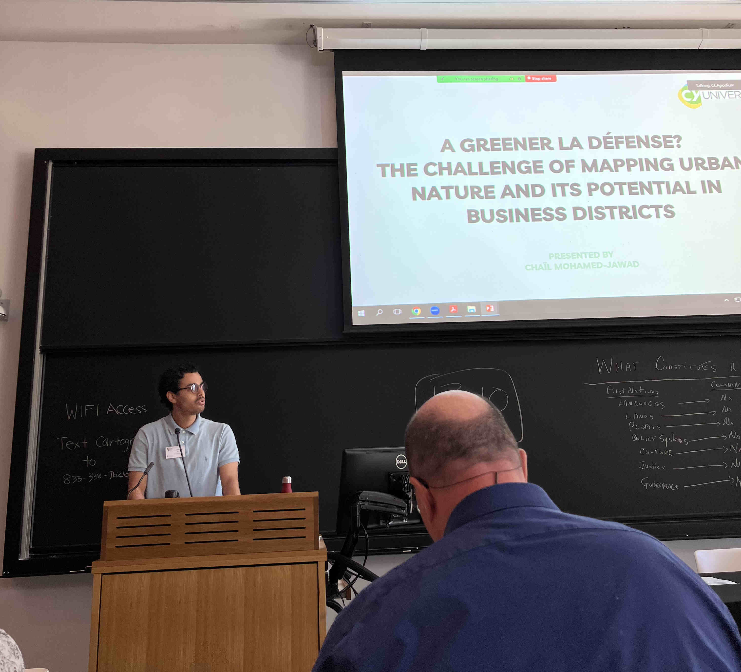
Mohamed-Jawad Chaïl : A greener La Défense? The challenge of mapping urban nature and its potential in business districts
In the context of climate emergency and biodiversity loss, urban nature has become a majorpolitical concern for contemporary cities. Yet its development raises major challenges, especially inhighly anthropic environments, such as large-scale purpose-built business districts. La Défense,one of the largest European business districts in Europe, is a case in point. While it is hardlyrecognized for its potential as a thriving urban natural environment, the public institution in chargeof its supervision, Paris La Défense, seeks to promote green infrastructure and wildlife amid its high-rise buildings.How can we better comprehend urban nature at play in La Défense and what types of data arerelevant in this regard? The challenge is to represent geographical data in an appropriate mannerbut also to grasp ecological processes and ensure the provision of reliable data for more informed decision-making.This paper draws on interviews with various stakeholders involved in the production or use of geographical data, both within Paris La Défense public institution and in other organizations providing data at regional or even national scales. I underscore the urge of strengthening collaborations between institutions to improve existing practices of data management and datasharing in this field. This question, crucial in the face of climate disruption, resonates as a pressing imperative and prompts urgent reflection firmly rooted in data analysis but also in the very contextof an increasingly changing urban environment.
Mouhamadou Ba : Decarbonizing airport hubs with photovoltaic panels: the case of Toulouse Blagnac airport
Faced with the climate emergency, airport hubs must imperatively make an energy transition(Article 45 of Law n°2015-992 of August 17, 2015). Photovoltaics offer a promising solution, buttheir installation raises land, environmental and, above all, aviation safety issues. This studyexplores the potential for decarbonizing Toulouse Blagnac airport through photovoltaics, taking these constraints into account. The aim is to assess the potential of developping photovoltaic panels on derelict land and large parking lots, while minimizing environmental impact and guaranteeing aviation safety. To achieve this, an in-depth geospatial analysis is carried out, basedon open-source GIS technologies. It identifies areas with high installation potential, taking into account: - Environmental risks and constraints: biodiversity, grasslands, etc. (Duval and Charru,2020) - Air safety risks and constraints: pilot dazzle (DGAC, 2022) - Installation capacity andproducible power The analysis reveals that derelict land and parking lots are ideal sites for the installation of PV panels, with a production capacity of around 524 GWh/year. The land issue remains a major challenge, particularly for areas with high irradiation potential. In addition to assessing the potential, the study questions the implications of the energy transition in the airport context. - The notion of energy transition itself is in question, as is the timetable for this transition(Smil, 2010; Milot, 2020; Hache, 2016). - The risk of conflict between the energy transition and theecological transition is also examined, particularly with regard to the potential environmental impacts of ground-mounted photovoltaic installations. The rigorous methodological approach and the analysis of environmental and safety issues make this study a valuable contribution to thinkingon the decarbonization of airport infrastructures.
Amy Andriamasomannana : Quality Analysis of Euro Regional Map: Uses and Limits of the European Cartographic Database
In the current context of the exponential growth of big data, qualitative cartographic databases arebecoming indispensable resources for geomaticians. While harmonized databases at the continental or global level are scarce, a few large-scale databases offer a wide range of data, including the collaborative solution OpenStreetMap and Google Maps data. Similarly, at the European level, some organizations offer harmonized databases, such as the Euro Regional Map from Euro Geographics.This study focuses on a comprehensive analysis of this database, highlighting the diversity of its uses and the beneficiaries who benefit from it. The main question is how the data quality of the database impacts its cartographic use at different scales. It is necessary to consider the implications of this database at the European level while exploring its use at the national level, witha particular focus on key French stakeholders, such as the National Institute of Geographic andForestry Information (IGN).The challenges associated with the use of this database are numerous for cartographers. They include the quality of the provided data, which influences the accuracy of the maps, as well as thestudy of disparities among different European states. Moreover, the heterogeneity of the data raises crucial questions regarding the involvement of states in the dissemination of this data.Furthermore, it is essential to adopt a critical approach by identifying the limitations of this database and questioning the various stakeholders involved. This involves presenting the difficulties encountered by cartographers regarding the reliability and accuracy of the data in reality. This study also provides a prospective dimension by exposing possible improvements to the database. These improvements could include recommendations to enhance data quality, moreeffective harmonization methods among different member states, as well as means to facilitate broader and more effective use of the database.